The Pacific Crest Trail (PCT) is an iconic long-distance hiking trail stretching from the Mexican border in California to the Canadian border in Washington, covering approximately 2,650 miles.
Completing this trail is a monumental challenge that tests the limits of endurance, determination, and resilience.

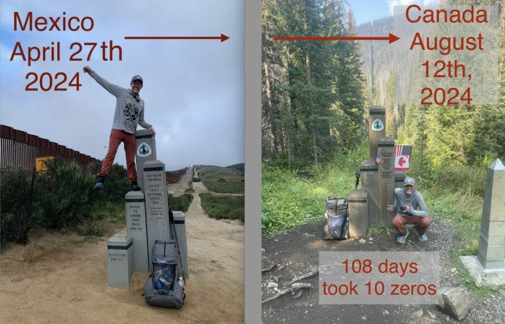
My husband, Theron, has started on this remarkable journey to hike the PCT to bring awareness to the need for living kidney donors and to highlight that donors can lead healthy, active lives post-donation.
Despite having only one kidney, Theron is undertaking this ambitious journey to demonstrate that life after donation can still be fulfilling and adventurous.

This hike is his first thru-hike as an adult, making it an even more significant challenge for him.
As a unique twist, we have lived in our converted Sprinter van for the last 6 years, so it made perfect sense for me to be his support vehicle.
While he hikes northbound across the west, I’ll be driving along parallel and zigzagging routes, meeting him at designated spots to provide support and supplies.
Our meet-ups give us the opportunity to stay connected, share stories, and support each other through this incredible journey.
We get to recount our separate but interconnected adventures whe we meet.
Save and Share this PCT support’s journey
This journey involves both the physical challenge of the trail and the emotional and logistical coordination between us.
I look forward to share our experiences through this blog, the highs and lows, and the journey of supporting a PCT hiker from the road.
By the Numbers: The PCT Challenge
The PCT is a challenging adventure that attracts people from every corner of the globe, regardless of age or background.
Every year, thousands of people attempt to hike it.
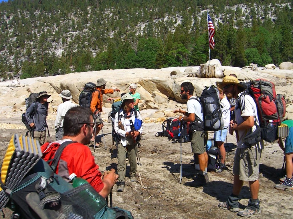
However, completing the entire trail is not small feat and only a few actually make it to the end.
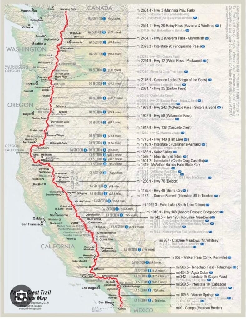
On average, it takes hikers a few months to hike the entire trail.
If someone hikes 15 miles a day without taking any days off, it would take over 5 1/2 months. Hiking 25 miles a day would take over 3 1/2 months.
Tracking the exact number of hikers and completers is difficult.
Many only hike sections of the trail, and the Pacific Crest Trail Association relies on self-reported completions, which are not verified.
Based on the association’s website, in 2022, there were 4,125 permits for northbound thru-hikes, but only 919 people reported finishing.
This highlights both the trail’s difficulty and the dedication of those who attempt it.
Despite the grueling nature of the hike, people of all ages love the PCT.
Theron has met hikers from all over the world so far, from a 17-year-old from Northern California to a 74-year-old from Canada.
This diversity only adds to the richness of PCT hiking culture, making it a special place for everyone who hikes it.
PCT Hiking Culture
The PCT hiking culture fosters a close-knit community and shared experiences among its hikers, which leaves a memorable and long-lasting impression.

Here are some key elements that define this culture:
Trail Names:
On the PCT, hikers often adopt trail names or nicknames that reflect their personalities, experiences, or humorous events on the trail.
This tradition adds a layer of fun and identity to the journey.
Some that we’ve met so far include “Campfire”, “Socks”, “Snake Bite”, “Candyman”, “Extra Mile”, “Oozy”, “Pitch Perfect”, “Purple Haze”, “Tesla”, “Ghost”, “Atlas”, “Bounce”, “Pinecone”, “Cowgirl”, “Midnight”, “Monk”, “Tumbleweed”, “Wings”, and many more. The story behind each trail name is so fun to hear.
Theron’s trail name is “Ultralight,” and it’s not referring to his gear being ultralight but to the 5-ounce right kidney that he’d donated to a stranger and shaved off the weight.
As one of his Facebook group followers commented, “You ain’t donating, you ain’t ultralight.”
So from here on, I will refer to my husband as Ultralight, as he’s known on the PCT.
Trail Angels and Trail Magic:
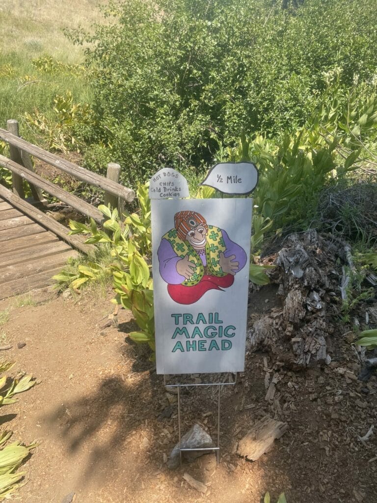
Generous individuals who support hikers by offering food, water, rides, or shelter are Trail angels.
Trail magic refers to these unexpected acts of kindness, which can range from a cooler of cold drinks left on the trail to a surprise hot meal.
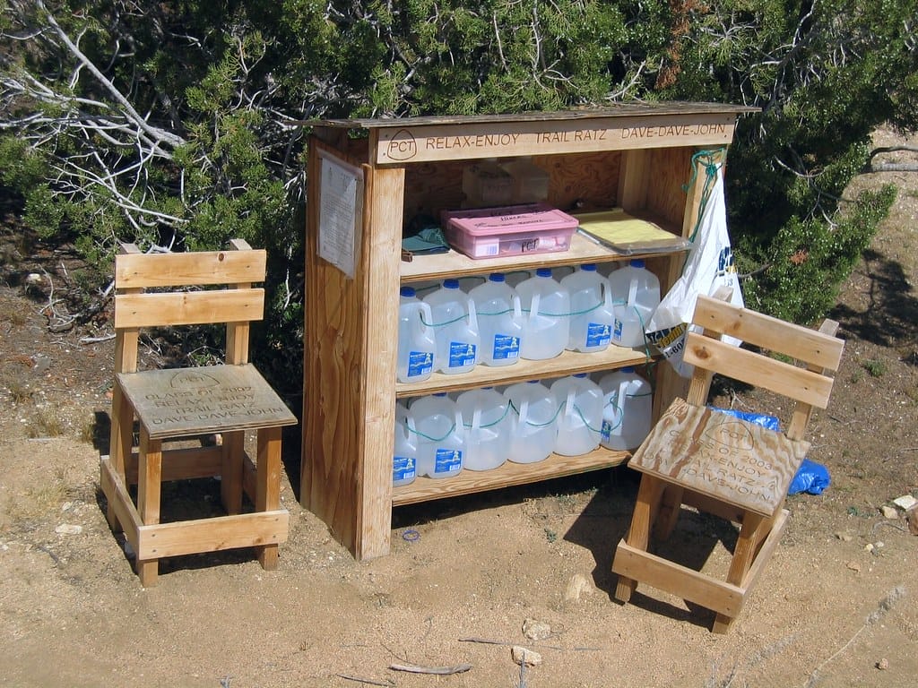
Some trail angels and trail magic welcome donations; some do charge a fee as a business; and some do it all for free.
This support is a magical part of the PCT experience.
Ultralight received a few trail magic, such as vegan hot dogs and Dr Pepper in the mid-afternoon when he needed it! And morning coffee after he had spilled the instant coffee.

Hiker Community:
The PCT fosters a strong sense of camaraderie.
While each hiker’s journey is personal, they often form close-knit groups, sharing stories, experiences, and support.
This communal spirit is a cherished aspect of the trail.
Hiker Boxes:
Located at various points along the trail, hiker boxes are communal spaces where hikers can leave unwanted items or take what they need.
From flags and food to tents and shoes, there’s everything a hiker might need.
It’s a system of sharing and recycling that helps lighten loads and reduce waste.

Leave No Trace:
Environmental stewardship is a core principle of the PCT.
Hikers are expected to follow Leave No Trace principles, which include packing out all trash, minimizing campfire impact, and respecting wildlife.
Challenges and Triumphs:
The PCT is known for its physical and mental challenges.
Hikers face diverse terrains, weather conditions, physical circumstances, and logistical hurdles.
Hiking the trail is a significant achievement, celebrated by the PCT community.
HYOH (Hike Your Own Hike):
This philosophy encourages personal freedom and individual choice on the trail.
It means going at your own pace, making your own decisions, and respecting the different ways others choose to hike.
Some may skip sections, some may spend more time in towns than on the trail, and some may be purists. It is all accepted on the PCT.
We were aware of the PCT culture before Ultralight began his hike, but we truly experienced its culture in depth as we became part of the PCT 2024.
Surprisingly, most hikers we encountered started their journey solo, even people from other countries.
This is contrary to our expectations of groups of adventurous friends on the PCT.
However, they soon find connections, and if they find themselves hiking at a similar pace, a “trembly” or trail family starts to form.
Some may find that they move in and out of several groups over the months.
Hikers have the freedom to be as social or solitary as they prefer.
Now that we have the gist of the wonderful culture, how do we follow the trail through all the terrain? On foot and with a vehicle?
Essential Tools as a Support Vehicle
Navigation is a crucial aspect of this adventure.
Far Out
In our preparations for Ultralight’s hike, we discovered Far Out, a comprehensive mapping app tailored for hikers.
Far Out offers a wealth of features that are indispensable for PCT hikers, as well as for the supporting vehicle.
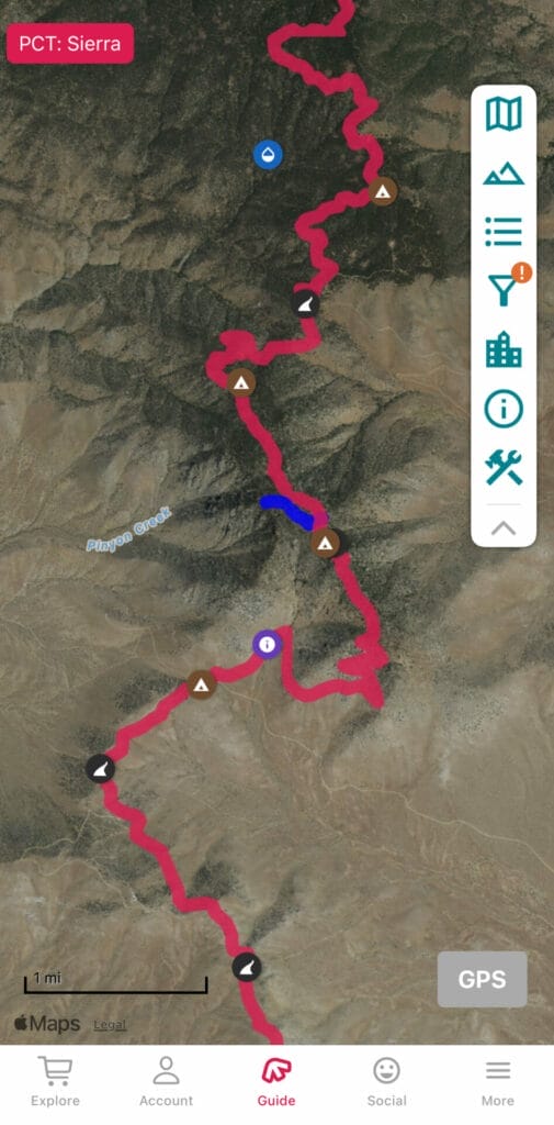
With detailed maps, trail updates, and user-friendly interfaces for everything from water sources, campsites, and damaged bridges, it provides hikers with important information to navigate the trail with more confidence.

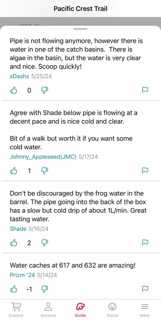
All this, with the ability to download maps for offline use, is a must for hiking in nature.
Can you imagine when the paper maps were all hikers had before to navigate the trail?
Every part of it would be a true surprise, as there wouldn’t be any current trail updates, such as an unpassable bridge or trail closure.
Garmin InReach
Another indispensable tool is the Garmin InReach with subscription.
It is a satellite communicator that enables real-time tracking and communication, even in remote areas with no cell coverage.
There are 3 main aspects to InReach for us: automatic check-ins, two-way messaging, and the SOS button.
With automated check-ins every 10 minutes, InReach allows me to follow Ultralight’s progress and help me manage my time for peace of mind for timely rendezvous.
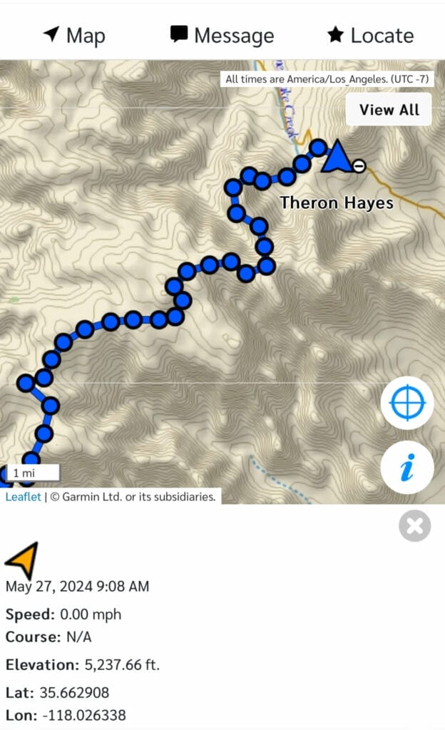
With month to month Expedition Plan for $64.95 a month, we can send unlimited messages to each other.
This is such a monumental must-have for us!
And for SOS, it’s a necessity whenever one’s in the wilderness, where anything can happen.
Once the SOS button is pressed, the Garmin response center contacts the appropriate emergency responders with your location and situation.
While you wait for help, you can be in communication with Garmin Response via text.
This is a life-saving device and subscription that everyone needs to have to take on this challenging journey.
Google Maps
Another essential app for me in the support van is Google Maps.
I make sure to download Google Maps so it can work seamlessly with Far Out to get me to the meeting points, even in areas where internet connectivity is limited or unavailable.
Here’s the Pacific Crest Trail in it’s entirety. It’s a necessity for anyone who’s involves in the PCT, whether hiking it or supporting a hiker.
iOverlander
I’ve mentioned iOverlander as a necessary app to find safe places to boondock in my vanlife blog, Van Life Essentials 2024.
It gives me info on legal, safe, and beautiful places for me to boondock as I wait for our next meeting time.
Here are 2 more apps that are so useful, which I only found after Ultralight hiked over 800 miles but would of helped since the beginning of his hike.
atweather.org
While other weather apps provide general forecasts, atweather.org focuses specifically on the PCT and AT (Appalachian) trails, offering localized weather updates.
Its unique feature allows me to select the PCT trail and then pinpoint our location, giving us accurate weather data, especially important considering the rapid changes in weather at higher elevations.

Checking this app regularly ensures we’re aware of any potential weather warnings along the route, so Ultralight can be better prepared out in the wilderness.
trailinfo.org
Another indispensable service is trailinfo.org, which provides real-time fire information via text communication.
By simply sending our location coordinates to 1-765-553-4737 on inReach or any messaging services, we receive immediate updates on active fires within a 50-mile radius, along with the Air Quality Index (AQI) from the nearest monitoring station.
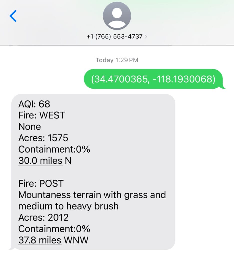
This invaluable resource, created by Joseph as a quick side project, offers vital information during fire season, benefiting both hikers and drivers.
Watch Duty
Another app to stay on top of wildfires is Watch Duty.
It uses map to display where the fires are and any information and updates on it.

A wildfire broke out 10 miles in front of Ultralight’s path in Oregon and by using Garmin inReach to contact me and I was able to check for the condition on Watch Duty.
Ultralight decided to turn around and go around the fire so not to be caught in the middle of it without an escape route.
It was a right choice and without Watch Duty, Ultralight would of kept going without any knowledge of the fire on his path!
PCT Closures
Last one to mention here is the PCT Closures app, from PCTA, which was introduced during Ultralight’s hike.
It is such a great app that separates into a list by states or map view for easy access to see which section of the trail is closed due to wildfires, landslides, collapsed bridges and more.
It provides details on the closure with updates and reroutes when available.
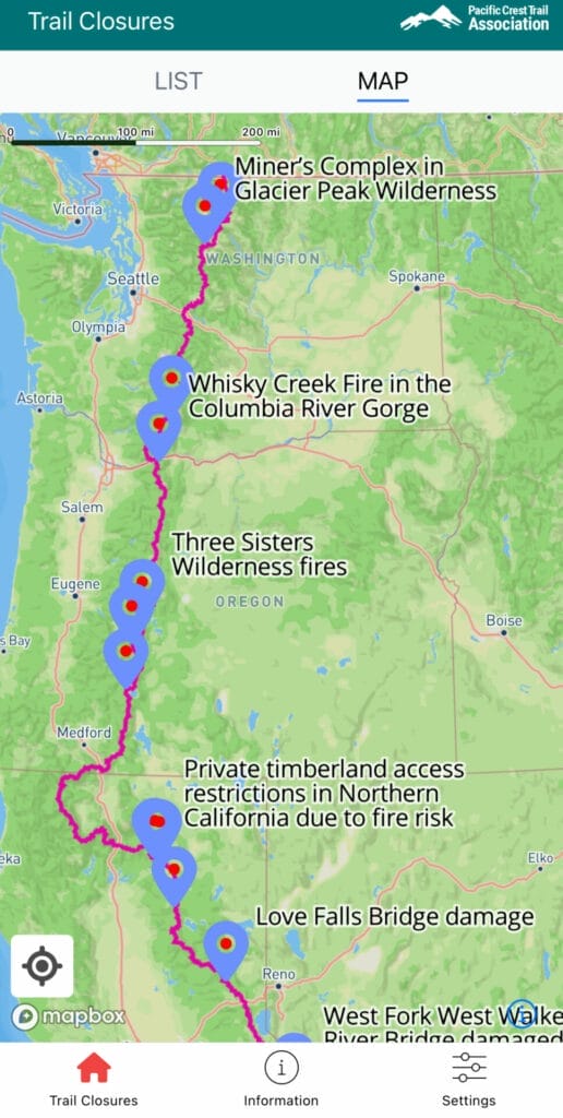

Although you can get the same information on PCTA website, but having the closures on an app on the phone is much easier to access.
Recognizing the incredible value of these apps, we want to express my sincere appreciation to everyone involved in bringing them from concept to reality.
In our reliance on technology, it’s easy to overlook the immense benefits it provide
Thank you all for your contributions!
However, despite having these essential tools at our disposal, challenges still arise.
Challenges and Rewards of a Support Van Life
Meeting the Challenges
Navigating to meeting points can still be daunting with all the tools mentioned above.
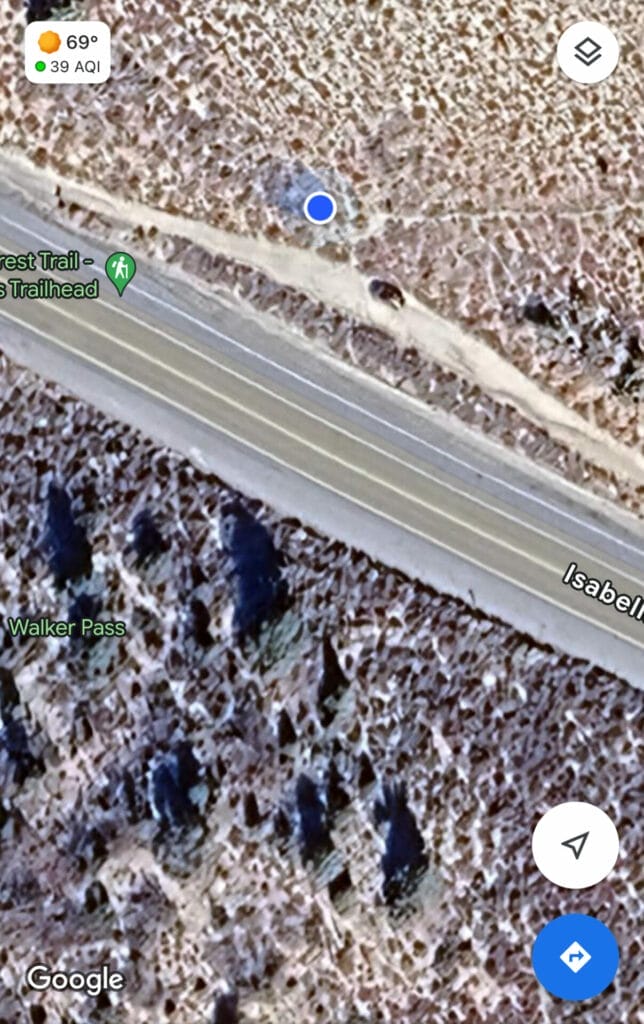
Despite knowing the meeting point is on a paved road through Far Out app, Google Map once let me down 15 miles of soft, sandy, off-road terrain before reaching the final mile of pavement.
Google Maps doesn’t offer an option to avoid dirt roads, which adds a layer of complexity to my journey.
I have not found a true solution to this, and I hope Google Map can see the necessity and make it an option soon.
For now, I will be more careful when I check the route on Google Maps in satellite view so I can visually see the road to confirm if the route is paved or gravel/dirt.
Emotionally, supporting Ultralight has been a rollercoaster.
After spending almost every moment together for the past year, I experienced a sense of emptiness and loneliness, especially during the initial nights alone.
There’s a feeling as if our relationship has ended, although I know very well that this will only build on our already strong love.
Adjusting to this new dynamic challenged me in unexpected ways, but through communication and understanding, we navigated these emotions together.
Another profound lesson we’ve learned is the importance of trusting that the other party is safe and sound, even when our messages go unanswered.
There have been moments when our messaging system faltered, perhaps due to reception issues on my end.
In those times, uncertainty crept in, but we discovered that assuming their well-being gave us peace of mind instead of spiraling into chronic worry and having sleepless nights.
It’s natural to feel anxious when communication falters, especially when miles apart.
However, choosing to trust that everything is okay became a powerful antidote to needless worry.
Instead of dwelling on worst-case scenarios, we embraced the belief that our loved one was fine, allowing us to focus on the journey ahead with a lighter heart.
Despite the challenges, the rewards of supporting Ultralight on the PCT are immeasurable.
Gains from the Trail
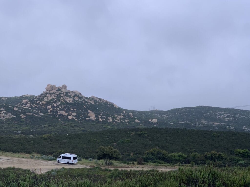
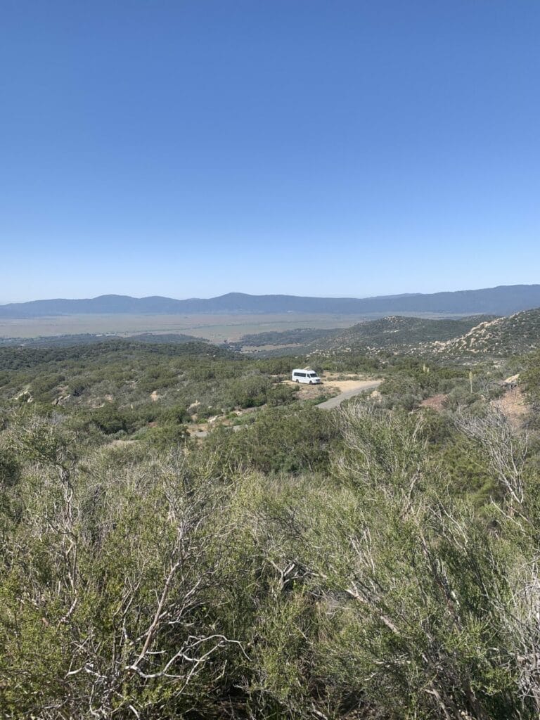
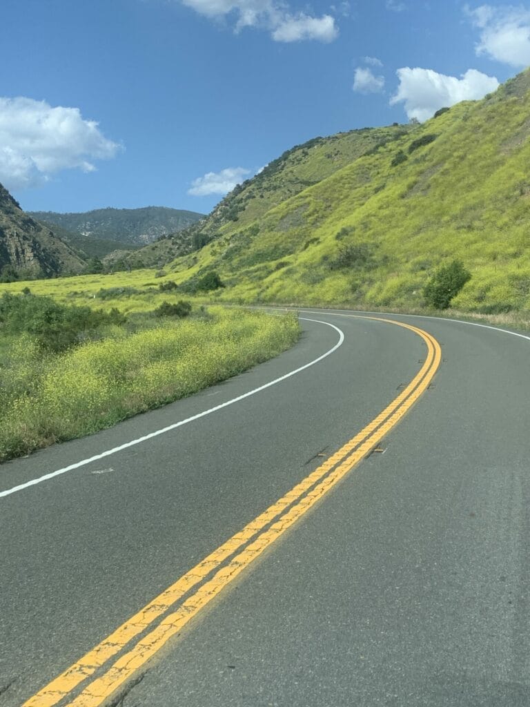
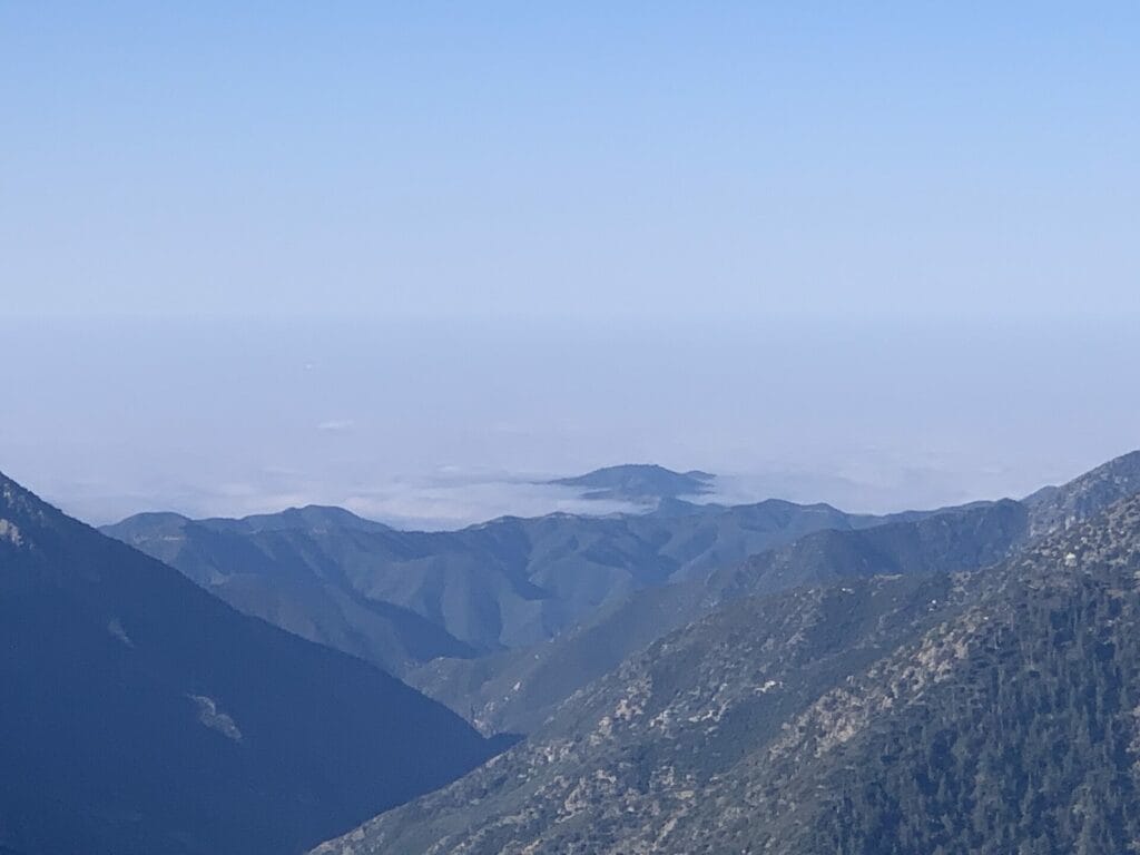
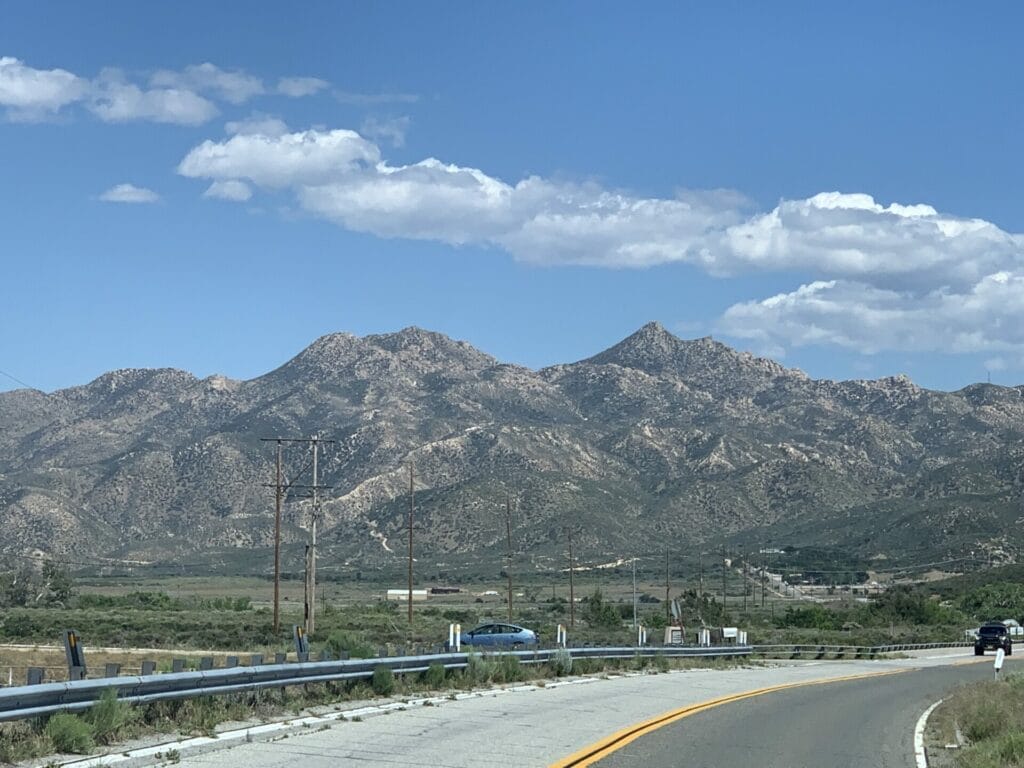
This journey has taken me to places I’ve never been and most likely would never go otherwise.
It has given me a newfound appreciation for familiar and unfamiliar landscapes.
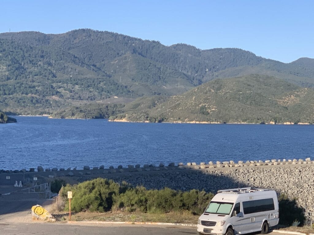

Conversations with hikers from diverse backgrounds have broadened my perspective and deepened my connection to the trail community, even though I am just a supporter.
Being able to be a trail angel and provide trail magic is a highlight of my days.
I also received my official trail angel name, “Trail Mama”.
And I love it!
I offer rides into town and back to the trail, and even though our van has limited space, I make an effort to purchase items in town that hikers would appreciate and distribute them at trailheads.
It makes me very happy to know I can sprinkle some magic on the PCT hikers.
The Big Why
Staying positive during these challenges is essential.
Although there are obstacles we face as a couple and as individuals, knowing our journey serves a greater purpose keeps us motivated.
Our goal of raising awareness for living kidney donation fuels our spirits, reminding us that our challenges pale in comparison to the lives we hope to impact.
Final Thoughts
As Ultralight continues along the PCT with me along side in the van, the journey unfolds with each step and each mile.
With gratitude for the opportunity to embark on this once-in-a-lifetime adventure, we look forward to embracing all that the trail has to offer, cherishing each moment, and finding joy in the simple bliss of the journey.


If you are interested in following Ultralight’s journey, you can follow his Facebook page, Hike For Life – Kidney Donor Awareness or just click in to see what Ultralight is up to now.
Tips: If this adventure interests you, you can join Facebook groups to get updates and tips, watch what’s happening, and post any questions you may have regarding the PCT.
Here are some of my suggestions, but there are many more, and from what I’ve seen, all of them can be very helpful.
Pacific Crest Trail Angels
PCT Class of 2024
Walker’s Pass Trail Angels
Pacific Crest Trail private group
Eastern sierra trail angels
PCT – Far NorCal Trail Angels (Castella/Dunsmuir/Shasta/Etna/Seiad)
Pacific Crest Trail public group
PCT Washington Trail Angels
Do you know about the PCT? Are you on the trail now? Please share below, and I would love to hear from you!

Original post published: May 27th, 2024
Save and Share this PCT’s support journey
Photo Credits:
- “PCT Hikers Deplane!” by fredsharples is licensed under CC BY 2.0 ↩︎
- “A repost..” by _-ellie-_ is licensed under CC BY-NC-SA 2.0 ↩︎
- “005_WaterCacheWithChairs.jpg065_65” by EdmondMeinfelder is licensed under CC BY 2.0 ↩︎
- “hiker boxes” by _-ellie-_ is licensed under CC BY-NC-SA 2.0 ↩︎

Leave a Reply